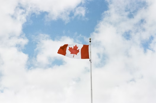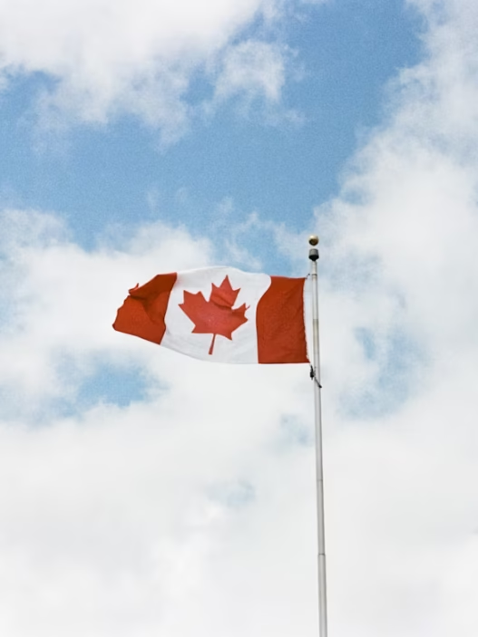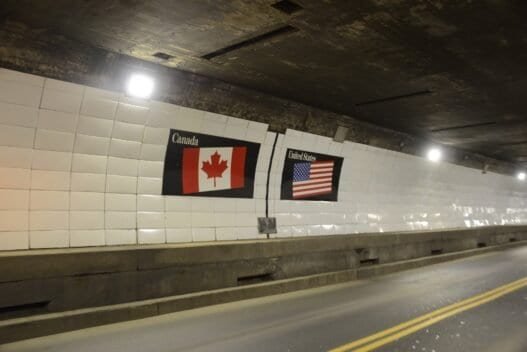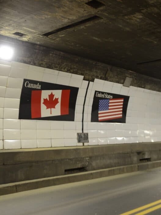


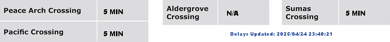
Good Caring Canada brings you real-time camera views of traffic along Highway 11 at the Sumas border crossing—an essential Fraser Valley connector between British Columbia and Washington State, and a potential alternative to the busier Peace Arch and Pacific Highway crossings.
⬇️ Scroll down to view current wait times and live camera images for each segment—from the international border at Sumas through the Highway 11 approaches near Farmer Road in Abbotsford.
For each segment, you will find a live traffic camera image—automatically refreshed every few minutes—alongside a description of what you are seeing. These include nearby entry and exit ramps, overpasses, merges, and key roadway features.
Whether you are heading into the United States or returning to Canada, these views offer valuable insight into lane activity and queue lengths in both directions. This information can help travelers make informed decisions on timing, routing, or whether to consider alternative crossings such as Aldergrove or Peace Arch.
Live camera feeds may occasionally be unavailable due to technical interruptions or scheduled maintenance. In such cases, readers are encouraged to refresh the page or return later for updated views.

Highway 11 Segment-by-Segment View
1. Huntington/Sumas (South)
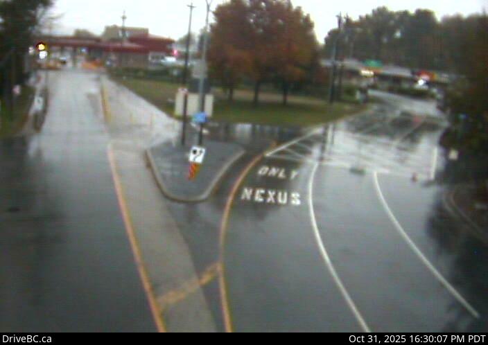
This camera faces south at the Sumas border crossing, showing the entry point into the United States. It includes a clear view of the Nexus-only lane, a traffic splitter island, and signage directing vehicles toward the inspection booths. This image helps travelers assess traffic movement and lane usage immediately before entering U.S. customs.
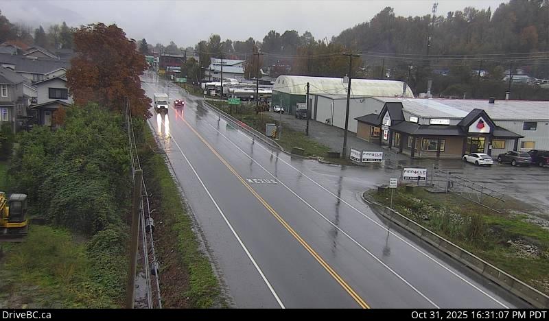
2. Huntington/Sumas (North)
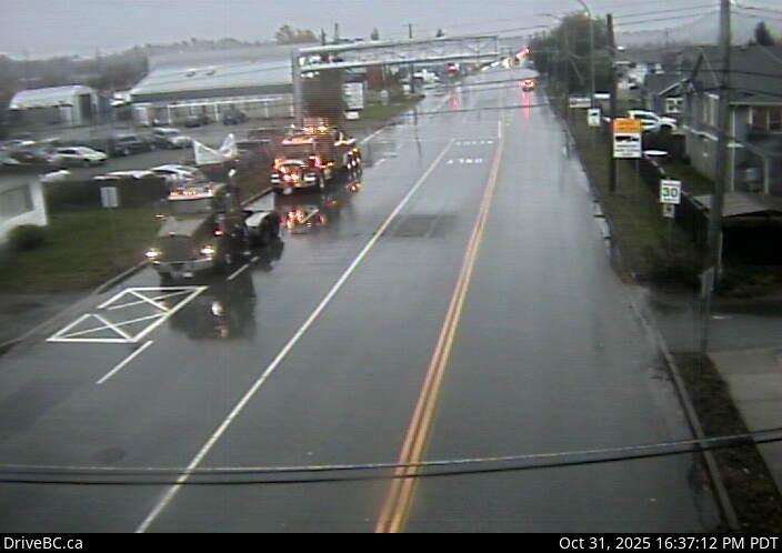
Facing northbound, this camera shows Highway 11 at 2 Avenue as it enters Canada from Washington State. The image captures a mix of commercial and residential buildings, posted speed limits, and typical traffic levels along the final block approaching Canadian customs.
3. Highway 11 at Farmer Road (South)
This south-facing camera captures Highway 11 near Farmer Road with a view toward the border. Flanked by businesses and light industrial buildings, the image shows a straight section of road with clearly marked lanes and good visibility of real-time traffic flow headed toward the crossing.
4. Highway 11 at Farmer Road (North)
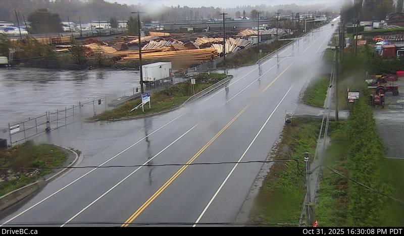
Looking north from the same intersection, this view shows a wide stretch of Highway 11 moving away from the Sumas border. The image includes a backdrop of sawmills and large stacks of lumber, offering a real-time look at post-crossing traffic dispersal through the southern end of Abbotsford’s industrial corridor.