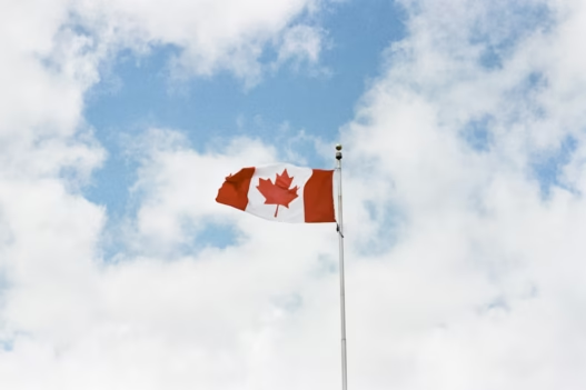


Good Caring Canada brings you real-time camera views of traffic along Highway 15 at the Pacific Highway border crossing—an important alternative to Peace Arch for travelers between British Columbia and Washington State.
⬇️ Scroll down to view current wait times and live camera images for each segment—from the international border through the Highway 15 and 8 Avenue approaches in South Surrey.
For each segment, you will find a live traffic camera image—automatically refreshed every few minutes—alongside a description of what you are seeing. These include nearby entry and exit ramps, overpasses, merges, and key roadway features.
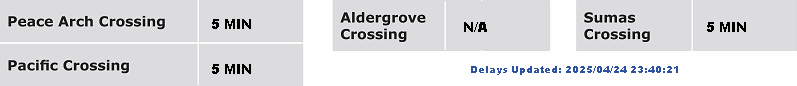
Whether you are entering Canada or heading into the United States, these live views provide helpful insight into queue lengths, lane usage, and wait-time trends in both directions. Travelers can use this information to time their crossing more effectively or to compare conditions with nearby ports of entry such as Peace Arch.
Live camera feeds may occasionally be unavailable due to technical interruptions or scheduled maintenance. In such cases, readers are encouraged to refresh the page or return later for updated views.

Route 99 Segment-by-Segment View
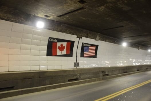
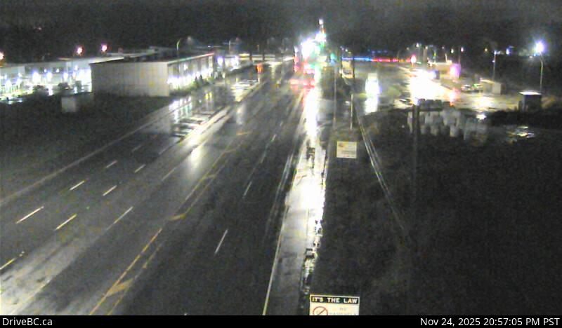
1. Pacific Border Crossing
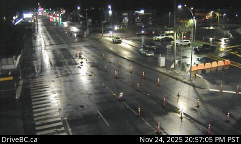
The camera here captures Highway 15 at the international boundary, looking north toward the Canadian inspection booths. This view shows the primary processing area for vehicles entering Canada from Washington State.
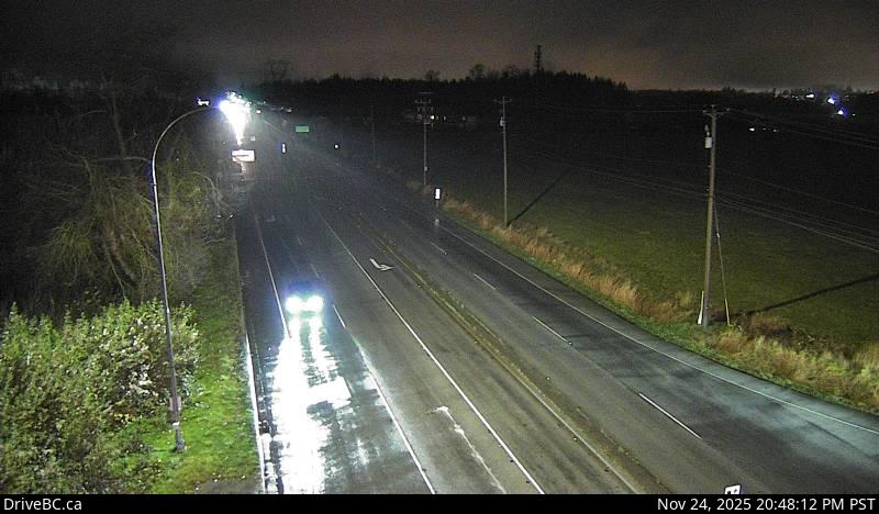
2. Second Avenue (South)
This south-facing camera provides a view of Highway 15 traffic approaching the border from within Canada. It captures the final staging area before drivers reach the Pacific Crossing customs lanes.
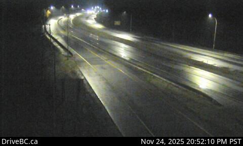
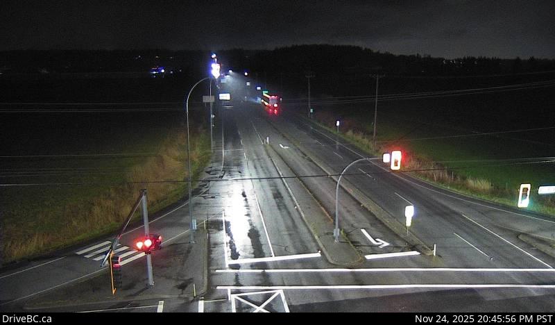
3. Second Avenue (North)
Looking northbound, this camera shows outbound traffic traveling away from the border crossing toward Surrey and Metro Vancouver. It provides a reference point for flow conditions just beyond the inspection zone.
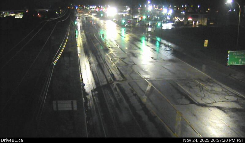
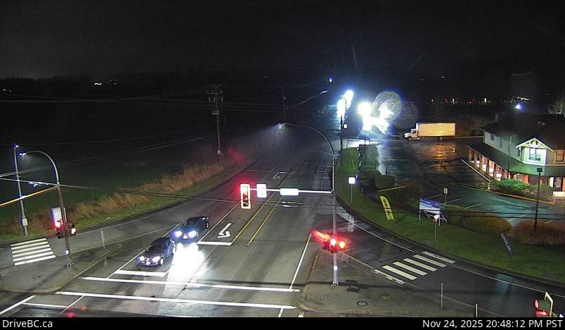
4. Highway 15 at 8 Avenue (South)
This view captures Highway 15 as it heads south toward the United States, including traffic merging in from the east via 8 Avenue. It gives a clear picture of approach volume and movement near the crossing.
5. Highway 15 at 8 Avenue (West)
This west-facing camera shows the ramp area feeding into Highway 15 from 8 Avenue. The image helps assess how local traffic is entering the southbound route toward the border.
6. Highway 15 at 8 Avenue (North)
Looking north, this segment shows vehicles moving into Surrey after clearing customs. It provides a broad overview of traffic leaving the border and continuing northbound on Highway 15.
7. Highway 15 at 8 Avenue (East)
This east-facing camera captures the side corridor of 8 Avenue, showing adjacent traffic conditions, support lanes, and feeder road activity near the border interchange.