


Good Caring Canada brings you real-time camera views of northbound traffic along the Lions Gate Bridge corridor, from downtown Vancouver’s Georgia Street through Stanley Park’s Causeway, across the bridge deck itself, and onward to the northern on-ramps connecting West and North Vancouver.
⬇️ Scroll down to follow the Lions Gate Bridge from its approach lanes on both shores to the central deck span. For each segment, you will find a live traffic camera image—automatically refreshed every few minutes—alongside a description of what you are seeing. These include lane direction indicators, ramp intersections, and notable traffic choke points.
To help with trip planning, each view includes guidance on lane control signals, common congestion patterns, and rush hour behavior. Understanding these dynamics—particularly the bridge’s unique three-lane reversible flow—can help drivers reduce wait times, avoid delays, and travel more efficiently across the inlet.
Live camera feeds may occasionally be unavailable due to technical interruptions or scheduled maintenance. In such cases, readers are encouraged to refresh the page or return later for updated views.
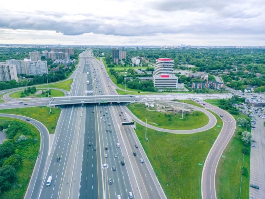
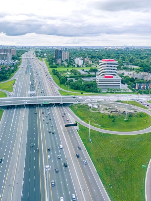
Lions Gate Segment-by-Segment View
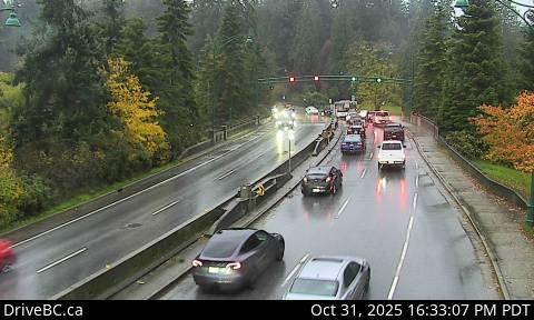
1. Georgia Street
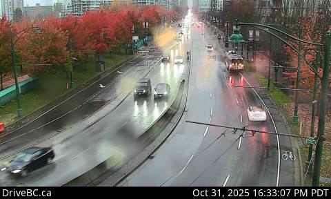
This camera provides a cityside perspective from the heart of downtown Vancouver. Located just west of the business district, it looks south along Georgia Street at Chilco, offering a snapshot of pre-bridge traffic and pedestrian activity. This is the final surface-street corridor before entering Stanley Park and approaching the Lions Gate Causeway. Heavy congestion here typically reflects downstream backups leading to the bridge entrance.
2. Causeway
Positioned at the southern mouth of the Stanley Park Causeway, this camera looks north into the forested corridor that leads directly to the bridge deck. This stretch is known for its narrow lanes, limited shoulders, and bottlenecks during peak hours. Drivers can use this view to determine whether traffic is flowing smoothly or whether backups are forming before the bridge span begins.
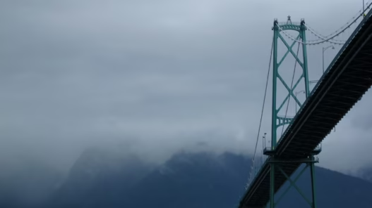
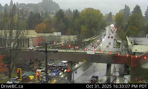
3. Lions Gate Bridge North End 1
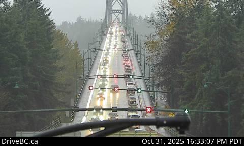
This is the principal view of the Lions Gate Bridge deck and its central control system. From this vantage point, viewers can observe the overhead lane direction signals that govern the bridge’s three-lane reversible flow. During the morning rush, two lanes are typically open southbound into Vancouver; during the evening, that alignment is reversed. The live signal indicators—green arrows and red Xs—are crucial for planning efficient trips and avoiding one-lane bottlenecks.
4. Lions Gate Bridge North End 2
This camera captures traffic exiting the bridge toward North and West Vancouver. Located near the Capilano Road merge and the upper end of the bridge span, it offers a look at both outbound traffic dispersal and inbound congestion creeping northward. Viewers can also gauge conditions on the complex loop ramp system that connects to Marine Drive and Highway 1.
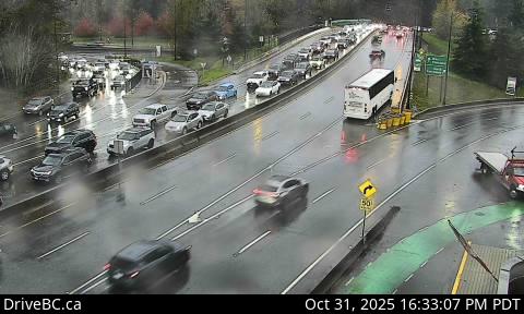
5. Marine Drive
From this West Vancouver location, the camera monitors the heavily trafficked intersection of Marine Drive and Taylor Way—one of the region’s most active on-ramps. The view extends eastward toward the base of the bridge. If queues are visible along the eastbound lanes, drivers should anticipate delays of up to thirty minutes or more during the evening peak, especially when only one northbound lane is open on the bridge.
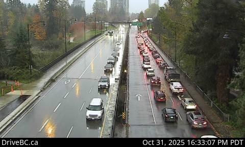
6. Taylor Way
This camera looks uphill along Taylor Way toward the bridge approach, capturing northbound and southbound flow between Park Royal and the British Properties. When congestion builds here, it often reflects downstream lane restrictions or volume surges from nearby shopping and arterial traffic. If the left lanes appear fully backed up, it is typically a sign of constrained access to the bridge, particularly in the afternoon or on weekends.