


Good Caring Canada brings you real-time camera views of traffic along Knight Street Bridge, connecting South Vancouver to Richmond via one of Metro Vancouver’s most critical north-south truck and commuter corridors. This key arterial route includes segments from Marine Drive and SE Marine ramps in Vancouver, across the Fraser River, and toward the busy Mitchell Island and Bridgeport Road interchanges on the Richmond side.
⬇️ Scroll down to follow the Knight Street Bridge corridor from its Vancouver approach to its Richmond descent. For each segment, you will find a live camera feed—refreshed automatically every few minutes. Views include directional cues, traffic behavior at major merge points, and key transit infrastructure such as HOV and bus-only lanes.
To support your trip planning, each camera description highlights typical congestion zones, traffic signal impacts, and how commercial vehicles and public transit affect flow. Unlike Lions Gate or Ironworkers, the Knight Street Bridge features four fixed lanes with no reversible center lane, though it regularly experiences directional pressure during peak hours due to its role as a freight priority corridor.
Live camera feeds may occasionally be unavailable due to technical interruptions or scheduled maintenance. In such cases, readers are encouraged to refresh the page or return later for updated views.
Bridge Segment-by-Segment View
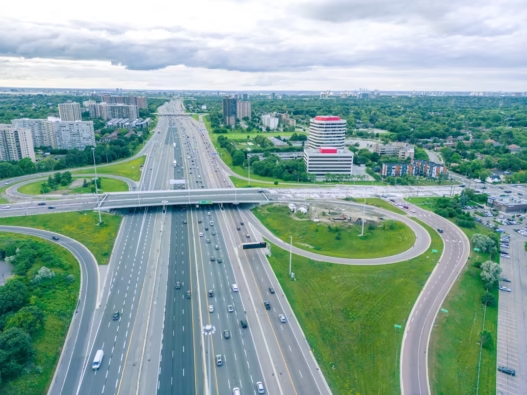
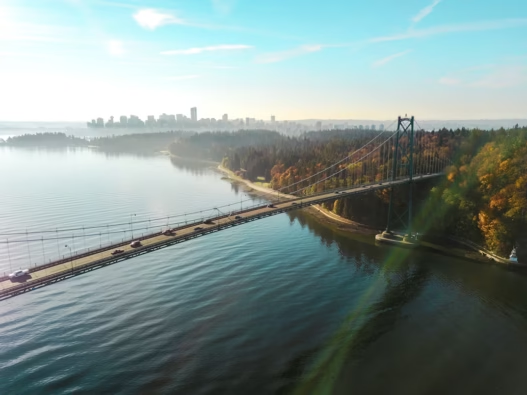
1. Bridge South End (South View)

This camera captures southbound traffic departing Vancouver, with vehicles heading toward the Fraser River crossing. Positioned just before the bridge ascent, this segment includes traffic from SE Marine Drive and the surrounding industrial zones. Afternoon congestion is common here, particularly when volume backs up toward Marine Drive or Mitchell Island. This is a key check-in point for anyone heading south toward Richmond or Highway 91.
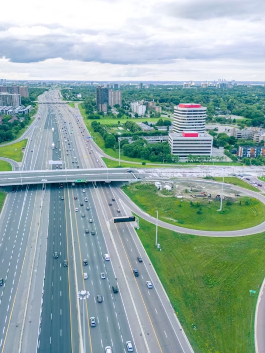
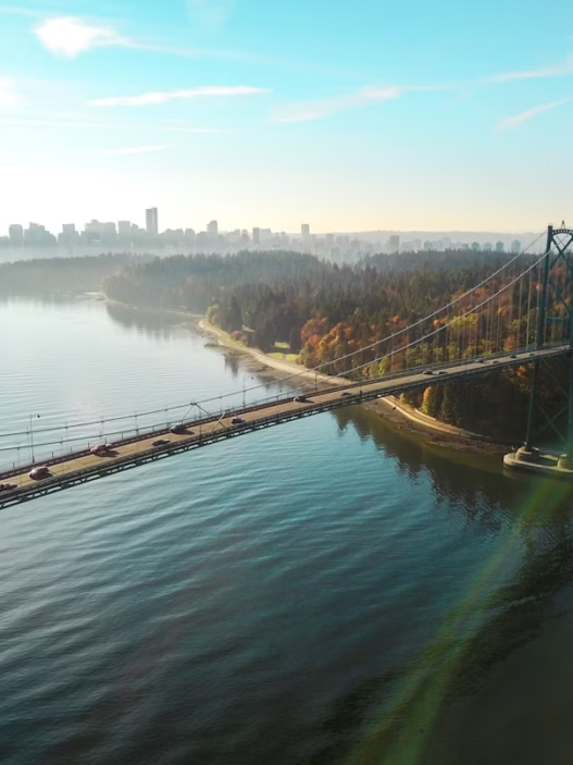
2. Bridge South End (North View)
This elevated view shows northbound vehicles approaching Vancouver as they travel across the Fraser River. The dense treeline foreground gives way to a view of Vancouver’s skyline and industrial corridor. During morning rush hour, this segment often sees extended queues, especially as traffic merges from Bridgeport and Mitchell Island ramps.
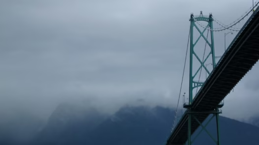
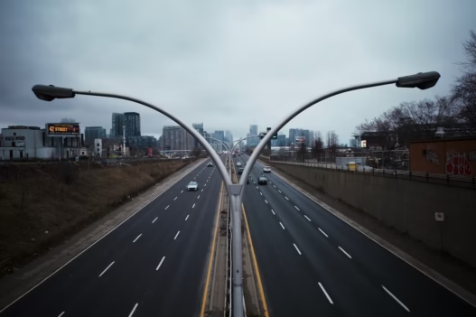
3. Bridge North End (South View)
Located on the Richmond approach, this camera looks southbound toward Bridgeport Road, just past the Mitchell Island exits. Here, traffic spreads into multiple southbound lanes. Commercial traffic is heavy, and mid-afternoon periods often produce slowdowns here due to industrial cross-traffic and downstream congestion on Bridgeport and Highway 91.
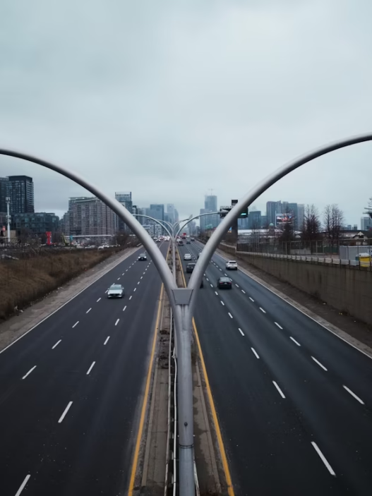
4. Bridge North End (North View)

This view captures northbound traffic leaving Richmond, climbing onto the Knight Street Bridge. Located near the split between Bridgeport Road and Mitchell Island on-ramps, this segment often experiences merging pressure during weekday mornings. Watch for lane changes and high-volume commercial vehicle flow heading toward Vancouver. The incline marks the transition into the central bridge span over the Fraser River.